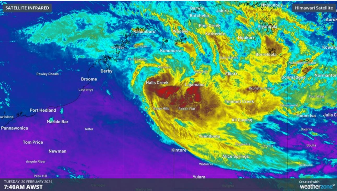
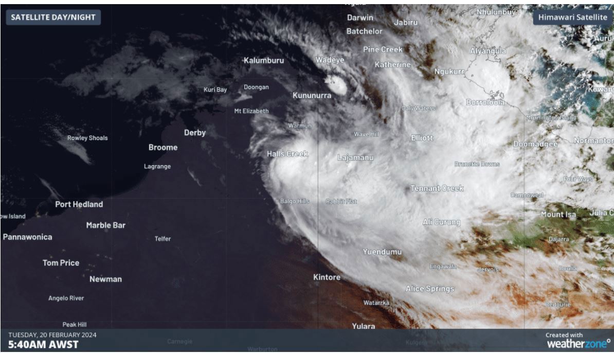
Ex-Tropical Cyclone Lincoln is threatening to re-develop in the coming days, bringing widespread rainfall as it moves across the country towards Western Australia.
The ex-tropical cyclone dumped hundreds of millimetres of rainfall over the weekend in the Northern Territory, triggering flood watch warnings in the Gregory and Tanami districts.
The low is expected to move into the waters off the Kimberley coast from today, where it's expected to intensify, the Bureau of Meteorology warned.
READ MORE: Martial arts instructor under guard after bodies of mum, dad, child found in Sydney

"We will see the wind speed really start to ratchet up around the ex-tropical cyclone through the course of the second half of the week," Meteorologist Angus Hines said.
"Thursday and Friday bring a high risk - 60 per cent chance of re-intensification back into a tropical cyclone for what would become, once again, Tropical Cyclone Lincoln.
"It is offshore Friday morning but after that, it's going to move a little back towards WA, hooking back around to the south and eventually the south-east."
READ MORE: Man refused bail after allegedly assaulting Coles trolley collector

The weather system is likely to be weakening over land from Sunday.
The Bureau has also issued several flood watch warnings for parts of the Northern Territory, including Central Inland Rivers, Bonaparte Coastal Rivers and Kimberley.
The rain is expected to ease from tonight.
from 9News https://ift.tt/qampiYG
via IFTTT
Comments
Post a Comment