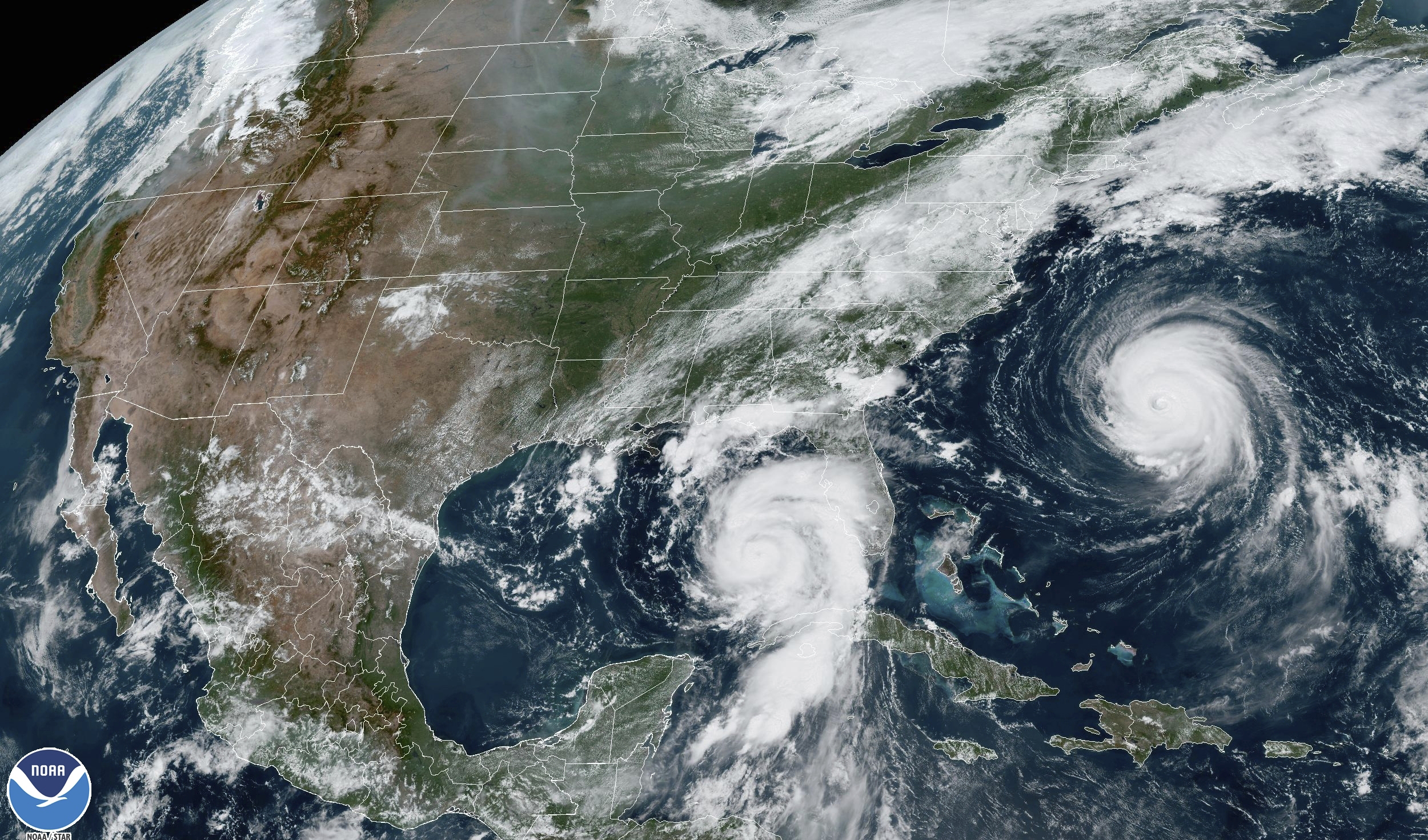
Hurricane Idalia is intensifying as it heads toward Florida, where it's expected to make landfall early Wednesday (Thursday AEST), bringing once-in-a-lifetime strength and storm surge levels to parts of the state's Gulf Coast.
Florida officials have already told some people to flee, closed schools and shuttered a major airport in preparation for the storm's impact.
The hurricane is due to hit as a Category 3, bringing powerful winds of up to 200km/h and a potential storm surge of up to 4.5 metres in the state's Big Bend region. That would stack a wall of seawater halfway up the second floor of an average building.
READ MORE: Incoming RBA governor issues grim interest rates warning

The Tampa Bay area could see storm surge of 3m. Anything greater than four 1.7m of storm surge inundation in the Tampa Bay area would set a new record there.
While other storms, like Hurricane Ian, have produced higher storm surge, these levels would be unprecedented for this part of the Florida Gulf Coast.
Idalia may also bust precedent as the first major hurricane in at least 172 years to track into Apalachee Bay in the sparsely populated Big Bend region, according to the National Hurricane Centre and its Tallahassee office.
"Don't mess with this one," the office said.
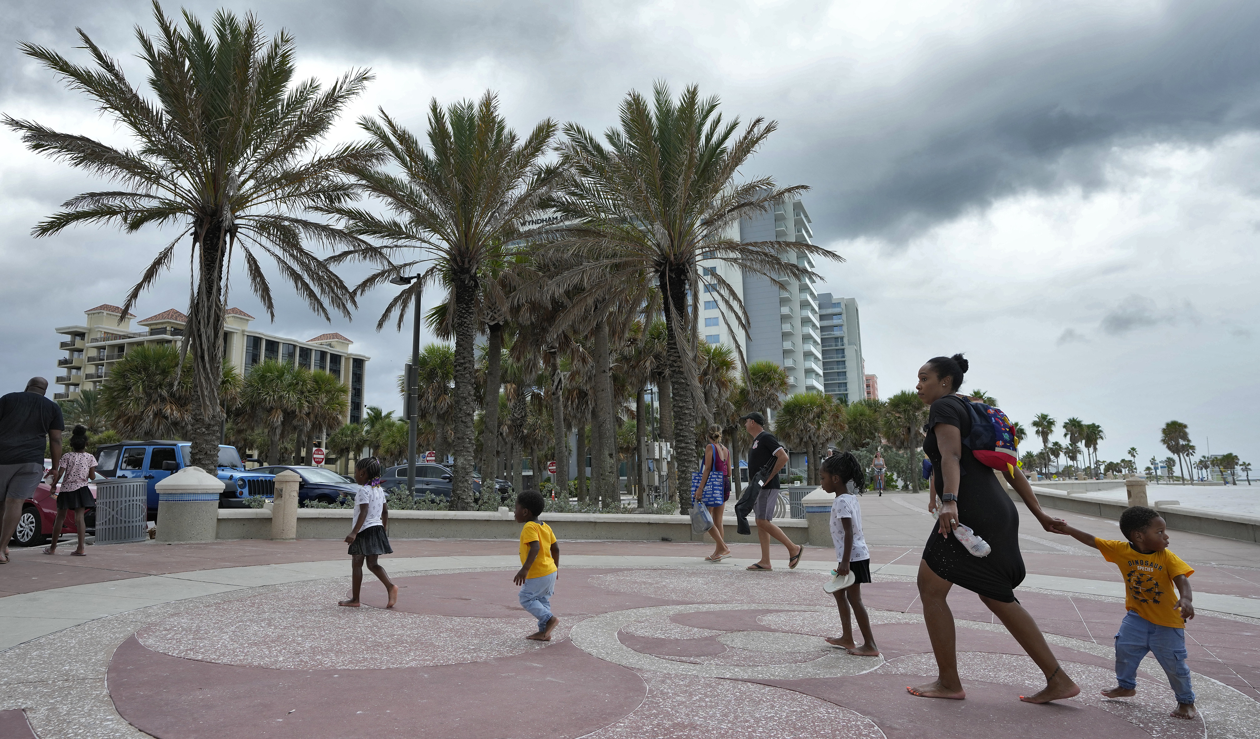
While the centre of the hurricane isn't expected to make landfall in the Tampa area, any wobble or shift in its track over the next 12 hours dramatically increases the region's surge levels, which are already forecast to be dangerous.
READ MORE: Jailed paedophile teacher allowed to end life through assisted dying

Urban search and rescue teams are on standby from the Federal Emergency Management Agency, while the US Army Corps of Engineers is set to support power generation missions, FEMA Administrator Deanne Criswell told CNN on Tuesday.
Beware of flood risk and heed evacuation orders, she advised, noting, "The No. 1 killer in all of these storms is water, whether it's the storm surge that's going to happen at the coast or the excessive rainfall that might happen inland that causes urban flash flooding."
State and local officials reminded residents they often don't have to go far – tens of miles, versus hundreds – to get to a safer place.
"You do not have to leave the state," Florida Governor Rick DeSantis said. "Get to higher ground in a safe structure. You can ride the storm out there and go back to your home."
READ MORE: WA mum dies after small dog bite turns into deadly infection

Before landfall, Idalia could produce a few tornadoes Tuesday along the west central Florida coast and by Tuesday night northward into the Big Bend.
"Everybody on that Gulf Coast from Tampa Bay up until Northwest Florida must remain vigilant," DeSantis said.
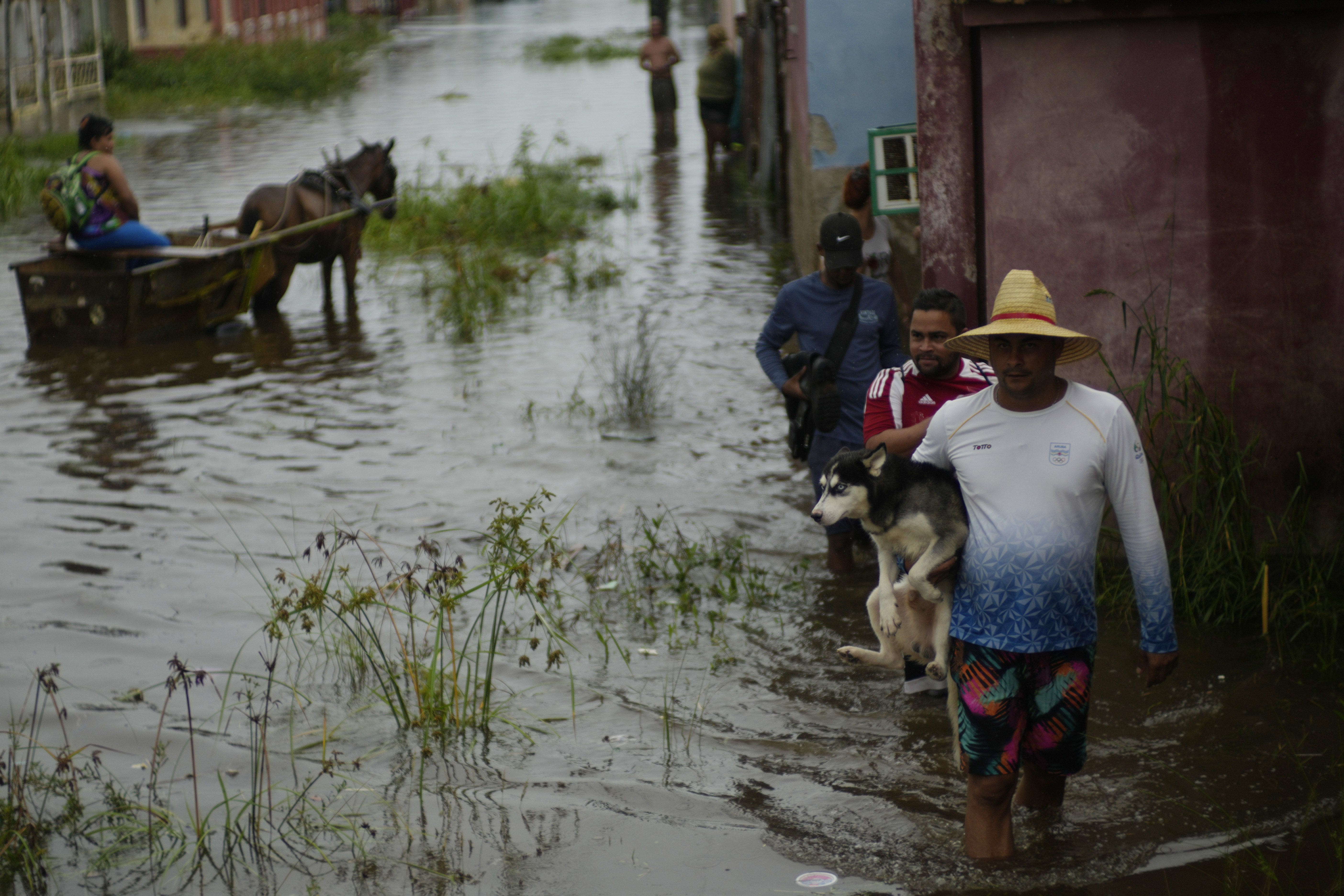
Earlier Idalia thrashed Cuba with heavy rain, especially in the westernmost part of the island, where the tobacco-producing province of Pinar del Rio is still recovering from Ian. More than 10,000 people evacuated to shelters or stayed with friends and relatives as up to 10cms of rain fell.
from 9News https://ift.tt/DBZMhzu
via IFTTT
Comments
Post a Comment